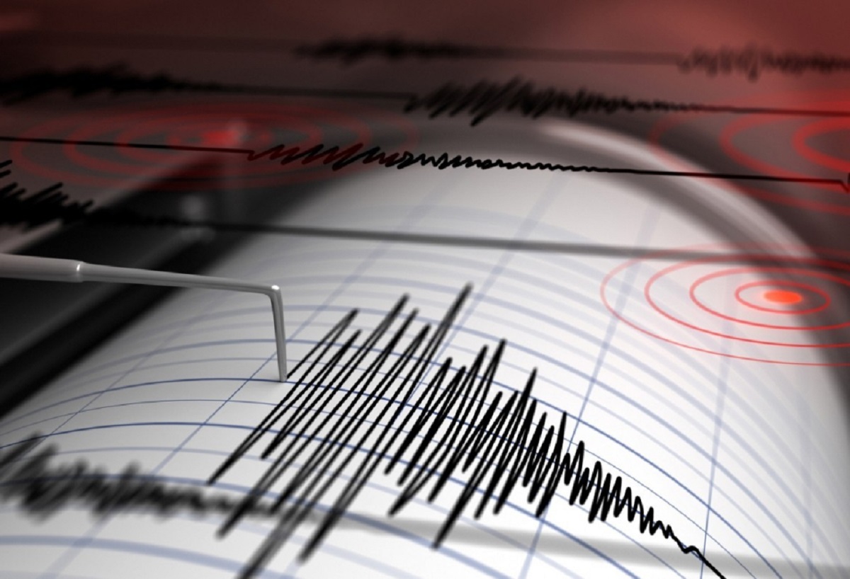
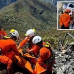
A terrifying 7.7-magnitude earthquake ripped through the island of Flores in eastern Indonesia early Saturday morning, transforming a peaceful dawn into a chaotic struggle for survival. Striking shortly before 5:00 AM local time at a shallow depth of 15 kilometers, the violent shaking woke residents in horror, collapsed homes on top of sleeping families, and triggered a widespread coastal tsunami panic.
At least 14 people have been confirmed dead across three provinces, with local search-and-rescue teams warning the casualty count will inevitably climb as first responders penetrate isolated mountain villages. From crumbling port terminals in Maumere to panicked evacuations toward inland high ground, the devastating event has plunged East Nusa Tenggara into a state of acute emergency.
Key Points Summary
The Event: A powerful 7.7-magnitude earthquake struck off the coast of Flores, Indonesia, at a shallow depth of 15km.
The Casualties: At least 14 people are confirmed dead (3 in Sikka, 6 in Manggarai, and 5 in East Manggarai), with over a dozen injured and ongoing search efforts.
Tsunami Evacuations: A brief receding shoreline triggered severe panic, sending over 2,000 residents fleeing into coastal hills on foot and motorbikes before the tsunami threat was officially lifted.
Infrastructure Wreckage: Over 54 residential homes, five healthcare clinics, six government buildings, and critical transport terminals suffered catastrophic structural damage.
Relentless Aftershocks: Dozens of secondary quakes—including a massive 6.1 tremor—have left terrified survivors refusing to return indoors.
The disaster struck when the vast majority of the population was asleep. Because the quake ruptured at a shallow depth of just 15 kilometers, the energy unleashed on the surface was exceptionally severe. Shallow quakes release concentrated kinetic force directly into surface foundations, transforming brick and concrete structures into lethal traps before occupants can react.
Emanuel Melkiades Laka Lena, the governor of East Nusa Tenggara province, confirmed during a press briefing that multiple victims died instantly inside their homes when structural walls gave way.
At the L Say port in Maumere, dramatic video captured concrete beams breaking off from terminal waiting rooms, raining down on passengers waiting for inter-island ferries. As the gangways buckled under the violent sway, several people were thrown straight into the sea.
• Sea receded significantly along shorelines • Panicked mass evacuation to high ground • Tsunami warnings issued and later lifted
Inland & Mountains (Destruction Zone)
• Sleeping residents trapped under fallen rubble • Hospitals forced to evacuate patients outdoors • Trans-Flores highway severed by landslides
In the coastal village of Talibura, local resident Arnold Welianto described the shock of waking up to violence: “I was startled awake and immediately went to my child’s room,” he recounted. “Many people had already fled into the hills. The sea had receded, and the water remained low for quite some time, so everyone panicked and ran.”
That ocean recession—a classic warning sign of an impending tsunami—sent an estimated 2,000 residents fleeing inland on motorbikes and on foot. Authorities issued an official tsunami alert across East Nusa Tenggara, West Nusa Tenggara, and South Sulawesi. Though the alert was eventually called off three hours later when sea levels failed to rise significantly, the emotional trauma and fear kept coastal towns entirely deserted.
What Other Reports Missed: Healthcare Crises and Landslide Bottlenecks
While international news outlets focused primarily on the seismic data and early fatality counts, on-the-ground reality presents a far more complex logistical nightmare.
Information from emergency operations centers indicates that five regional healthcare facilities suffered severe structural fractures. Hospital workers were forced to evacuate bedridden patients out into parking lots and open fields, setting up IV lines and oxygen tanks under open skies as strong aftershocks continued to roll through the region.
Furthermore, search and rescue operations in the interior mountain ranges face severe obstacles. The quake triggered massive ground failures along the Trans-Flores highway—a 700-kilometer arteries system connecting the island’s major settlements. Landslides near Reok in Manggarai Regency have completely cut off ground transport, forcing emergency workers to move on foot through unstable terrain while communication blackouts hamper real-time damage updates.
ENGAGEMENT
Where was the epicenter of the Indonesia earthquake? The 7.7-magnitude earthquake was centered off the northern coast of Flores Island, approximately 68 kilometers north-northwest of the city of Ende in East Nusa Tenggara province.
Is there a active tsunami warning for Indonesia? No. Indonesia’s geophysics agency (BMKG) issued an immediate tsunami warning following the initial quake, but officially lifted the alert three hours later after tide gauges recorded no dangerous sea-level surges.
Frequently Asked Questions (FAQs)
Q1: How many casualties have been confirmed in the Flores earthquake?Answer: As of Saturday afternoon, official reports confirm at least 14 fatalities—comprising three deaths in Sikka province, six in Manggarai, and five in East Manggarai—along with over 13 reported injuries.
Q2: Why was this specific earthquake so destructive?Answer: The earthquake was exceptionally destructive because of its shallow focal depth of 15 kilometers. Shallow quakes transfer intense kinetic energy directly to surface structures, causing much greater collapse compared to deeper seismic events.
Q3: Why is Indonesia subject to so many major earthquakes?Answer: Indonesia sits directly atop the Pacific “Ring of Fire,” a highly active tectonic belt where the Indo-Australian, Eurasian, and Pacific tectonic plates meet, causing frequent earthquakes and volcanic eruptions.
How do you think international disaster relief teams should prioritize aid delivery when major mountain roadways are blocked by landslides? Share your thoughts and join the conversation in the comments below!
Hello! I'm M Muzamil Shami, the founder and lead editor of Star Struck Times, your trusted source for trending news, entertainment scoops, celebrity gossip, sports highlights, and global headlines.
With a passion for storytelling and journalism, I created this platform to bring you breaking news, viral moments, and deep insights into the worlds of Bollywood, Hollywood, sports, politics, tech, and more — all in one place.