Australia is bracing for severe weather as Cyclone Hayley, a Category 4 tropical system, approaches the northern coastline, prompting widespread flood warnings across Queensland and parts of Western Australia. The Australian Bureau of Meteorology (BOM) confirmed on December 30, 2025, that Hayley intensified overnight, bringing destructive winds, heavy rainfall, and a heightened risk of life-threatening flash flooding. Authorities have urged residents in vulnerable coastal and low-lying areas to prepare for evacuations as emergency services activate disaster response plans.
Key Highlights
Cyclone Hayley upgraded to Category 4 with wind gusts up to 230 km/h
Flood warnings issued for far north Queensland and coastal communities
Evacuation centres opened in Broome and surrounding regions
Peak impact forecast for Tuesday night, December 30, 2025
Authorities urge emergency preparedness for at least one week
What Happened: Cyclone Hayley Intensifies Near Northern Australia
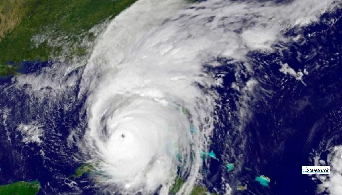
The Australian Bureau of Meteorology confirmed that Severe Tropical Cyclone Hayley strengthened rapidly as it moved across warm waters toward Western Australia’s Dampier Peninsula and far north Queensland. As of Tuesday morning, meteorologists reported sustained winds exceeding 185 km/h, with gusts reaching 230 km/h, placing the system firmly in Category 4 territory.
BOM meteorologist Jonathan How warned that conditions are expected to deteriorate rapidly.
“We can expect to see those gale-force winds picking up through Tuesday morning and then intensifying to destructive wind gusts from Tuesday afternoon and possibly very destructive wind gusts,” How said during a televised briefing.
The cyclone is forecast to cross coastal areas late Tuesday night, bringing torrential rainfall, storm surges, and widespread riverine flooding, particularly in already saturated regions of Queensland.
Official Response: Evacuations and Emergency Measures Activated
State and local authorities have moved quickly to protect residents in high-risk zones. Emergency Management Australia and local councils have issued mandatory evacuation advisories for residents living in caravans, older homes, and low-lying coastal communities, including Beagle Bay, Cockatoo Island, and Derby.
The Broome Recreation and Aquatic Centre has been designated as a primary evacuation shelter and will remain open throughout the warning period. Officials have urged residents to relocate early rather than wait for last-minute conditions to worsen.
Authorities also advised households to prepare emergency kits containing:
Non-perishable food and water for seven days
First aid supplies and essential medications
Cash, important documents, and a battery-operated radio
Mobile phone chargers and backup power sources
A spokesperson for Western Australia’s disaster management agency stated,
“Our priority is public safety. These warnings are not precautionary—they reflect real and immediate risks.”
Why It Matters: Millions at Risk as Extreme Weather Intensifies
Cyclone Hayley highlights Australia’s increasing exposure to extreme weather events, with millions of residents potentially affected across multiple states. The combination of heavy rainfall, flash flooding, and destructive winds poses serious threats to infrastructure, agriculture, and essential services.
Climate and disaster analysts note that stronger tropical cyclones have become more frequent in recent years due to warmer ocean temperatures.
“We’re seeing systems intensify faster and retain strength longer,” said a senior climate risk analyst. “This significantly reduces preparation time for communities.”
For residents, the danger feels immediate. A Derby local, Mark Ellison, told local radio,
“We’ve boarded up before, but this feels different. The warnings are stronger, and people are genuinely worried.”
Another resident shared on social media,
“Everyone’s helping each other pack and move. It’s scary, but the community is pulling together.”
Context: Cyclones and Flooding in Recent Years
Australia has faced multiple severe cyclones and flood emergencies over the past decade, particularly across Queensland and Western Australia. Meteorologists point out that regions experiencing repeated flooding are more vulnerable to rapid river rises and infrastructure damage.
Historically, Category 4 cyclones have caused prolonged power outages, road closures, and significant economic losses. Emergency planners stress that early compliance with evacuation orders is critical to reducing injuries and fatalities.
For broader coverage of severe weather developments, readers can explore our Weather News section for ongoing updates and analysis. (Internal link suggestion)
What Happens Next
Forecast models indicate that Cyclone Hayley will maintain severe intensity as it approaches landfall late Tuesday night. Authorities will continue to monitor wind strength, rainfall totals, and storm surge risks, with further evacuation orders possible.
Residents are advised to:
Monitor updates from the Australian Bureau of Meteorology
Follow instructions from local emergency services
Avoid floodwaters and damaged infrastructure
Check on vulnerable neighbors when safe to do so
Emergency services remain on high alert as the situation evolves.
FAQs
1. Where is Cyclone Hayley expected to make landfall? Cyclone Hayley is forecast to cross near the Dampier Peninsula in Western Australia, with severe impacts extending into far north Queensland. Exact landfall timing and location may shift based on weather conditions.
2. How strong is Cyclone Hayley? As of December 30, 2025, Hayley is classified as a Category 4 tropical cyclone, with sustained winds over 185 km/h and gusts reaching 230 km/h, capable of causing severe structural damage.
3. What are the main risks associated with this cyclone? The primary dangers include destructive winds, heavy rainfall, flash flooding, riverine flooding, and storm surge, all of which can pose life-threatening risks if warnings are ignored.
4. Are evacuation centres available? Yes. Evacuation centres, including the Broome Recreation and Aquatic Centre, are open for residents in warning zones. Authorities encourage early relocation.
5. How can residents stay informed? Residents should monitor updates from the Australian Bureau of Meteorology, local emergency services, and official government channels via radio, television, and verified online sources.
Stay informed, stay prepared, and prioritize safety. Follow official warnings closely and support your community as Australia faces another major weather challenge.
Hello! I'm M Muzamil Shami, the founder and lead editor of Star Struck Times, your trusted source for trending news, entertainment scoops, celebrity gossip, sports highlights, and global headlines.
With a passion for storytelling and journalism, I created this platform to bring you breaking news, viral moments, and deep insights into the worlds of Bollywood, Hollywood, sports, politics, tech, and more — all in one place.


")


